
Guide NaviBoss help
How to check the weather and ocean currents on your route
Paint the sea with the marine forecast or the ocean currents, see the sea state at each waypoint when you get there, and let NaviBoss re-route to ride the currents.
The Weather tool paints the sea in one of two ways: the ocean currents for this month, or the marine forecast for the days ahead. With a route planned, the forecast is read along your track at the time your ship will be there, not at the time you look.
#Pick what paints the sea
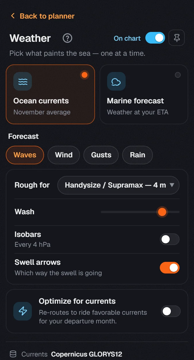
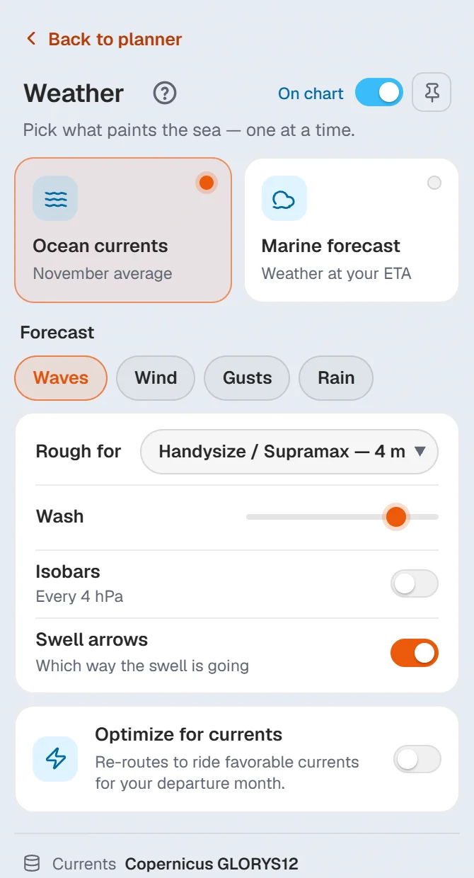
Press a tile to paint the sea with it. Only one paints at a time: the colours of the two would mix into mud. Press the lit tile again to clear the sea.
- Ocean currents: the average currents for this month, with moving streaks that show the set.
- Marine forecast: waves, wind, gusts or rain from the latest forecast run.
The On chart switch at the top hides or shows the tool's paint in one press.
#The forecast along your route
Plan a route first
See plan your first route. The forecast uses your ETD and speed to place the ship along the track hour by hour.
Turn on Marine forecast
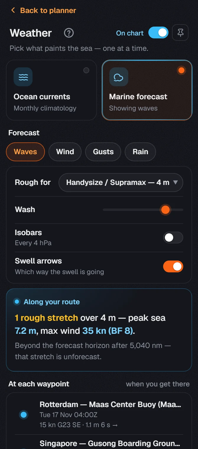
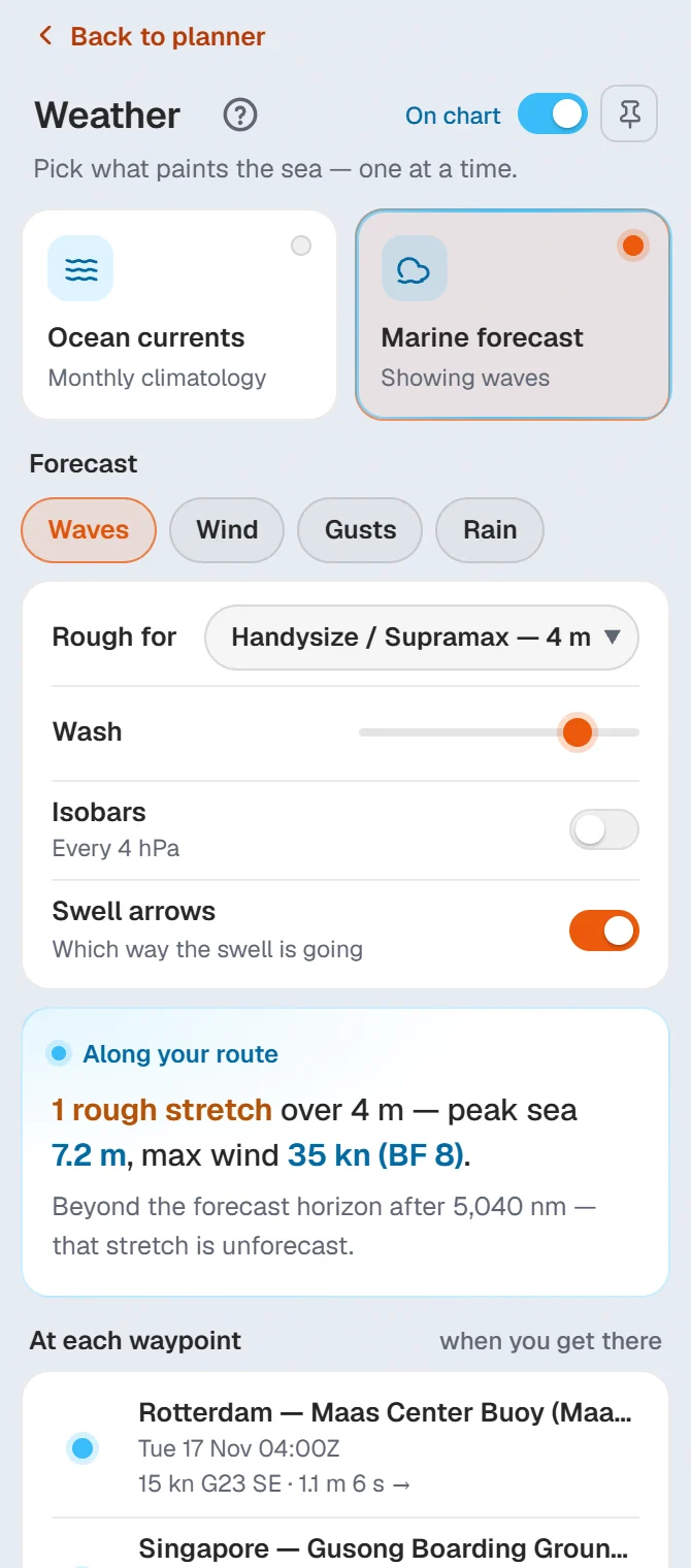
Press the Marine forecast tile. Choose Waves, Wind, Gusts or Rain to paint the sea with it.
Set what is rough for your ship
Pick your ship in Rough for: Small (<5,000 GT), Handysize / Supramax or Panamax and above. It is the same setting as Size class in Settings › Vessel.
Read the card
Along your route gives the peak sea and the strongest wind on the passage, and how many stretches go over your limit.
- At each waypoint shows the wind and sea at each of your stops, at the time the ship is there.
- Rough stretches lists each part of the route over your limit. They are orange on the chart. Click a row and the chart goes there.
- Isobars draws the pressure lines over any of the four. Swell arrows shows which way the swell is going (waves only). Wash sets how strong the paint is.
Wind is shown in knots, m/s or Beaufort, as set in Settings › Units & formats.
If the card says Forecast unavailable, no forecast run could be read. A new run is published once a day. Press Try again, or use the ocean currents meanwhile: they do not depend on it.
#Optimize for currents
Switch on Optimize for currents and NaviBoss re-routes the voyage to the fastest track through the currents of your departure month, at your set speed.
- If the track moves, the new one is tagged Optimized route on the chart. The track you had stays as a dashed line, tagged Current route.
- The card under the switch shows Time saved vs current route, or says the route is already the fastest track for that month.
- The ETA on the voyage card now counts the help or the drag of the current.
- Switch it off to go back to the shortest track.
#Next steps
- Check the NAVAREA warnings along the same route.
- Export the route for your ECDIS once you are happy with it.
- now and paint the sea.
About our guides
NaviBoss guides are written and checked by maritime industry experts, masters and deck officers. Each one is built from the same data the planner uses, dated, and rebuilt when that data changes. Spotted something wrong? Tell us on the feedback board.
A planning aid, not for navigation. Check official charts and publications, the latest notices and your company's instructions before you rely on any figure here.
Free Ready when you are
Try Weather and currents on your own voyage
Free account, no card. The same tool this guide shows.
Open Weather and currentsFree account · no card