

Guide NaviBoss help
How to check NAVAREA warnings on your route
See the live NAVAREA warnings on your route, read each one, and send them to the ECDIS as a user chart or a report.
The Warnings tool reads the NAVAREA warnings in force worldwide and puts each one on the chart where it applies. With a route planned, it lists the warnings near your track first.
#Warnings on your route
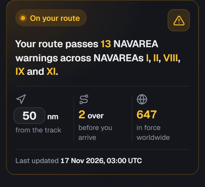
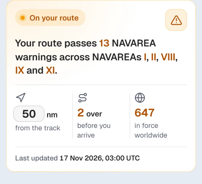
Plan a route first
The tool then opens on Route. Without a route it shows the warnings in view.
Set the corridor
Type how far from the track to look, in nm from the track. Many companies use 10, 20 or 50 nm. NaviBoss keeps your number for next time.
Read the counts
Over before you arrive counts warnings that end before your ship gets there. In force worldwide is the whole list.
#Route, In view and World
The three buttons at the top choose which warnings you see:
- Route: the warnings near your planned track.
- In view: the warnings on the part of the chart you are looking at.
- World: every warning in force.
#Find a warning
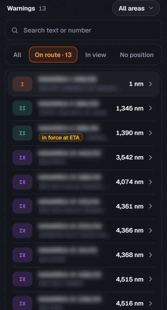
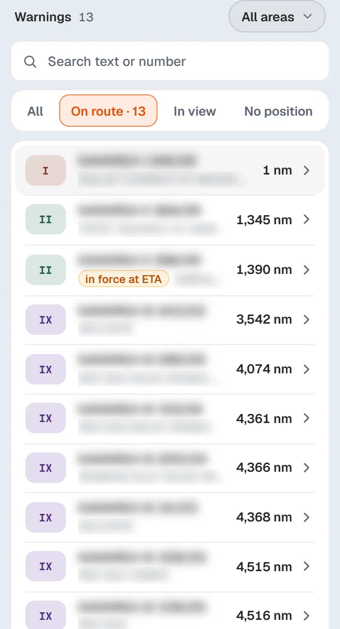
- Search takes a number (
246/26) or any word in the text (cable,Singapore). - All areas narrows the list to one NAVAREA.
- No position lists the warnings that name no place on the chart. Read these too.
- A tag on a row says when it matters: in force at ETA or over by then.
Click a row to read the whole warning. Its shape lights up on the chart.
#On the chart
The On chart switch at the top shows or hides everything from this tool. Under the list you can switch each part on its own:
- NAVAREA limits: the edges of the 21 areas.
- NAVAREA warnings: each warning drawn as a point, a line or an area.
- NAVTEX stations: the transmitters and how far each one reaches.
#Send them to the ECDIS
Press Export above the list. You can make:
- An ECDIS user chart of the warnings on your route, so they show on the ECDIS over your ENCs.
- A warnings report as PDF or Word, for the passage plan.
The Export tool can also put the warnings in one pack with your route file: see user charts in the Export guide.
About our guides
NaviBoss guides are written and checked by maritime industry experts, masters and deck officers. Each one is built from the same data the planner uses, dated, and rebuilt when that data changes. Spotted something wrong? Tell us on the feedback board.
A planning aid, not for navigation. Check official charts and publications, the latest notices and your company's instructions before you rely on any figure here.
Free Ready when you are
Try NAVAREA warnings on your own voyage
Free account, no card. The same tool this guide shows.
Open NAVAREA warningsFree account · no card