

Guide NaviBoss help
How to export a route and user charts to your ECDIS
Turn a planned route into the files the bridge loads: the route for your ECDIS, user charts of the warnings and zones, and the reports. Three steps.
The Export tool makes everything the bridge needs for one passage, in three steps: the route file, the user charts that show warnings and zones over your ENCs, and a review of every file before you download.
#Step 1: the route file
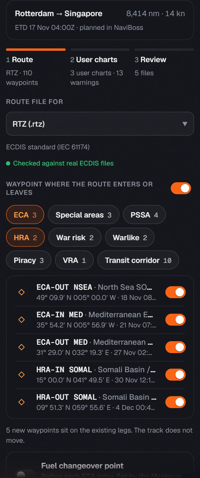
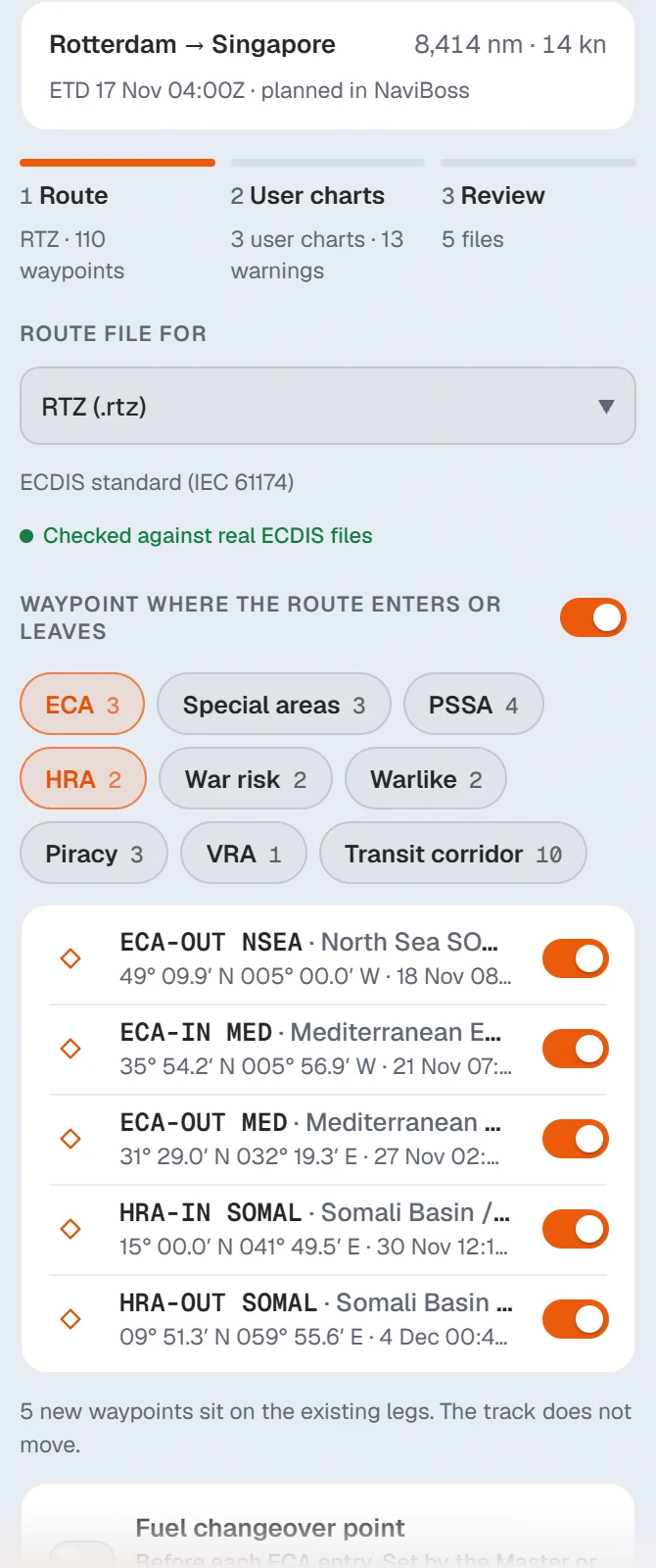
Choose your ECDIS
Open Route file for and pick your maker and model. The line under it says how sure we are: Checked against real ECDIS files, Follows the maker's manual, or Not checked yet.
Keep the zone waypoints
With Waypoint where the route enters or leaves on, NaviBoss adds a waypoint at each ECA, HRA, war-risk or piracy area boundary. They sit on the legs you already have, so the track does not move. Switch off any you do not want.
Fuel changeover, if you need it
Switch on Fuel changeover point to add a waypoint before each ECA entry. How far before is set by the Master or company policy.
Furuno
Pick Furuno .TXT, the Furuno ECDIS route list, or Furuno 3000 (.rtz). The line under the format says how well each one is proven.
JRC
Pick JRC ECDIS (.csv), or the RTM, RTN or RTA file your JRC model asks for.
Kongsberg
Pick Kongsberg K-Bridge (.rux) or K-Bridge (RUT).
Any other
Pick RTZ (.rtz). It is the ECDIS standard (IEC 61174) and most makers load it.
#Step 2: user charts
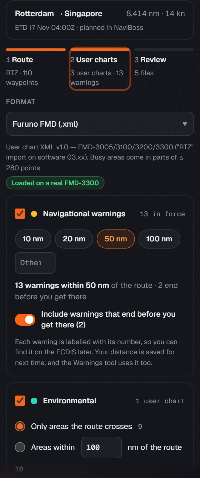
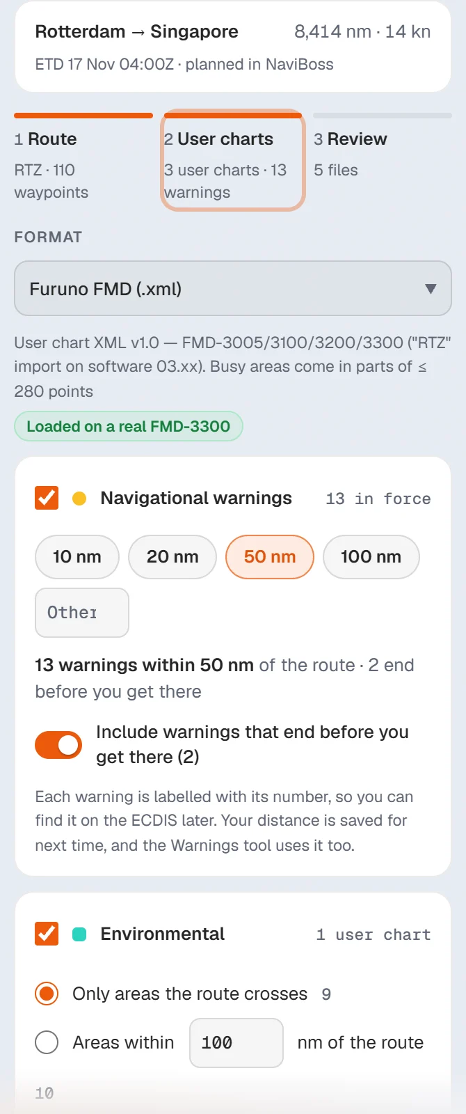
A user chart is a layer the ECDIS draws over the ENCs. NaviBoss makes one for each set you tick:
- Navigational warnings: the NAVAREA warnings within 10, 20, 50 or 100 nm of the route, or a distance you type. Each warning keeps its number, so you can find it on the ECDIS later.
- Environmental: ECAs, MARPOL Special Areas and PSSAs. Only the areas the route crosses, or every area within a distance you choose.
- Security: the piracy, war-risk and other risk areas on the route.
Pick the Format your ECDIS reads at the top of the step. The line under it says how it was proven, for example Loaded on a real FMD-3300.
#Step 3: review and download
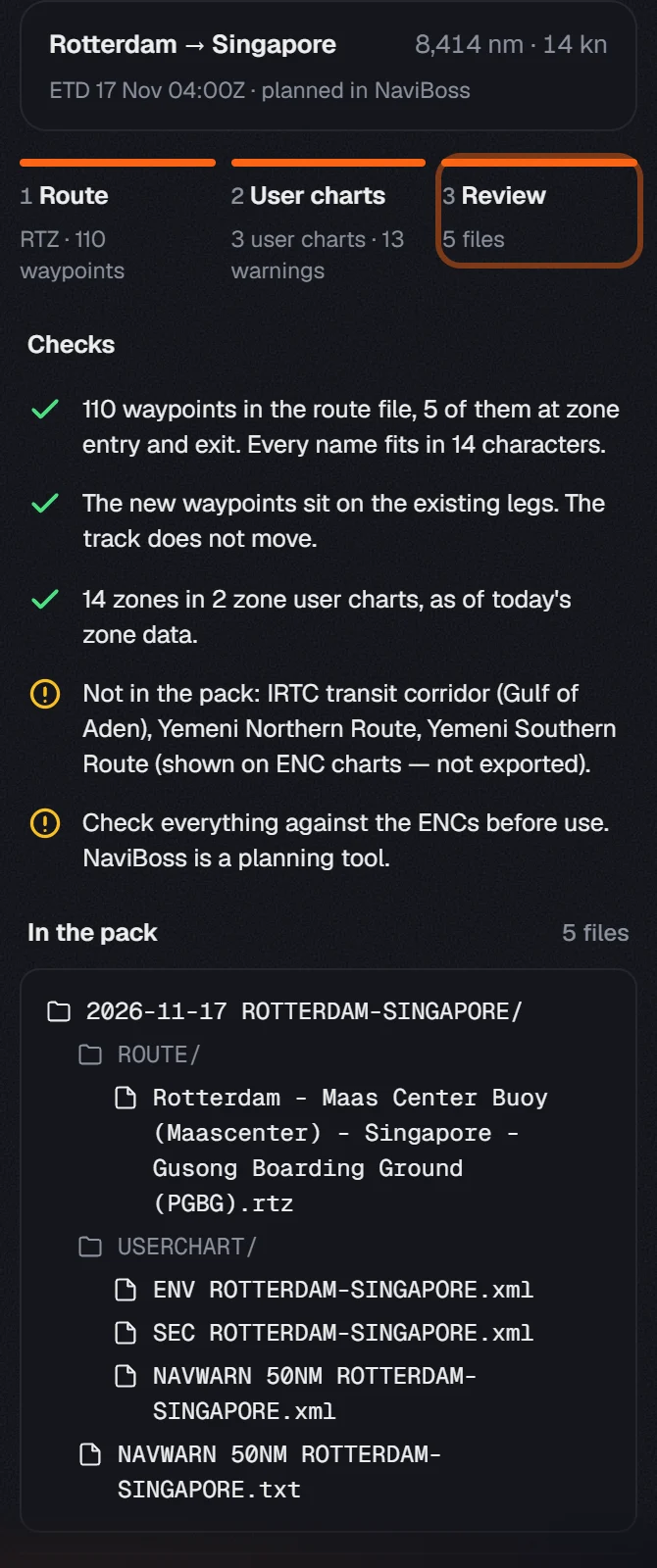
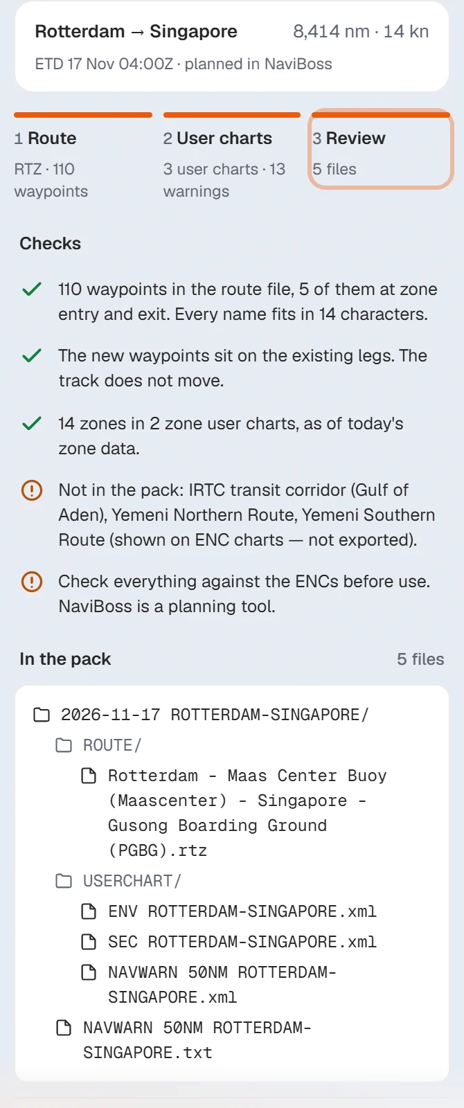
The review starts with Checks: how many waypoints the route file has, how many sit at zone entries and exits, and anything left out. Then In the pack lists every file, already in folders:
ROUTE/holds the route file.USERCHART/holds one file per user chart.
Press Download pack for all of them at once, or Download files one by one. Below them you can also download the Voyage report and the NAVAREA warnings report, each as PDF or Word.
Copy the files to a USB stick and load them on the ECDIS the way your company's procedure says.
About our guides
NaviBoss guides are written and checked by maritime industry experts, masters and deck officers. Each one is built from the same data the planner uses, dated, and rebuilt when that data changes. Spotted something wrong? Tell us on the feedback board.
A planning aid, not for navigation. Check official charts and publications, the latest notices and your company's instructions before you rely on any figure here.
Free Ready when you are
Try Export for the bridge on your own voyage
Free account, no card. The same tool this guide shows.
Open Export for the bridgeFree account · no card