Guide NaviBoss help
How to import a route from your ECDIS and check it
Open the route file your ECDIS exported, then read its distance and ETA, and the warnings and areas it crosses.
NaviBoss opens the route files ECDIS units export (RTZ, Furuno, JRC, CSV and more) and checks them like its own: distance, ETA, and the warnings and areas along the track.
#Steps
Open the route file
Press Open a route file in the planner and choose the file. You can also drop it on the chart.
Read its distance and ETA
The voyage card shows the file's own route: distance, days at sea and ETA.
Read what it crosses
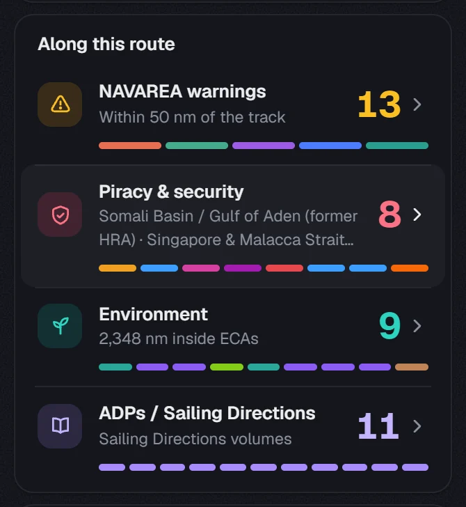
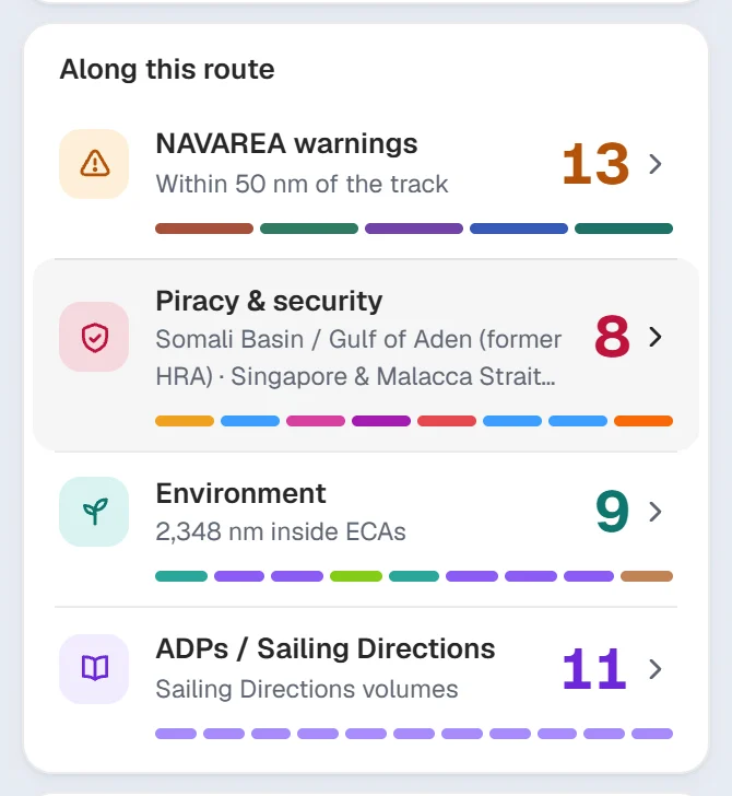
Along this route lists the NAVAREA warnings, security areas, ECAs and publications along it. Press a row for the tool.
About our guides
NaviBoss guides are written and checked by maritime industry experts, masters and deck officers. Each one is built from the same data the planner uses, dated, and rebuilt when that data changes. Spotted something wrong? Tell us on the feedback board.
A planning aid, not for navigation. Check official charts and publications, the latest notices and your company's instructions before you rely on any figure here.
Free Ready when you are
Do it on your own voyage
Free account, no card. The tour walks you through it in the planner.
Start the tourFree account · no card