Guide NaviBoss help
How to check Emission Control Areas and MARPOL Special Areas on your route
See how many miles of your voyage run inside Emission Control Areas, which MARPOL Special Areas, PSSAs and other environmental areas the route crosses, and keep out of an ECA where a short way round exists.
The Environment tool shows the environmental areas on the chart: Emission Control Areas (ECA / SECA), whale speed zones, scrubber rules, MARPOL Special Areas and Particularly Sensitive Sea Areas. With a route planned, it tells you how far the voyage runs inside an ECA. That is the figure your fuel plan needs.
#ECA miles on your route
Plan a route first
Without a route the tool shows the areas worldwide. You can and plan one now.
Read the ECA share
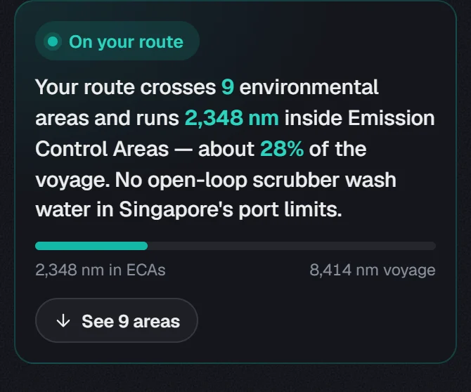
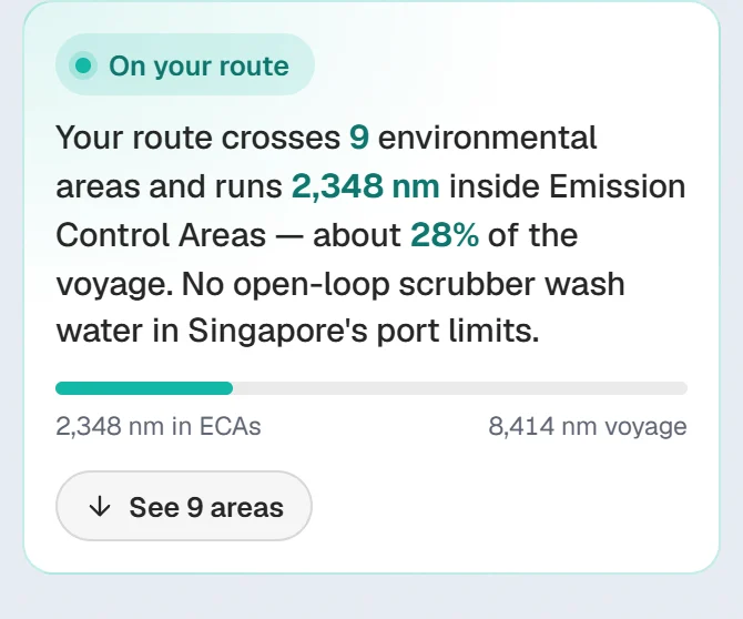
The card gives the miles inside Emission Control Areas and the share of the whole voyage. The bar under it shows the same: miles in ECAs against the voyage.
Read the extra lines
If the route meets a whale speed zone or a scrubber rule, the card says so in its own sentence, for example where open-loop scrubber wash water is not allowed.
#Areas crossed
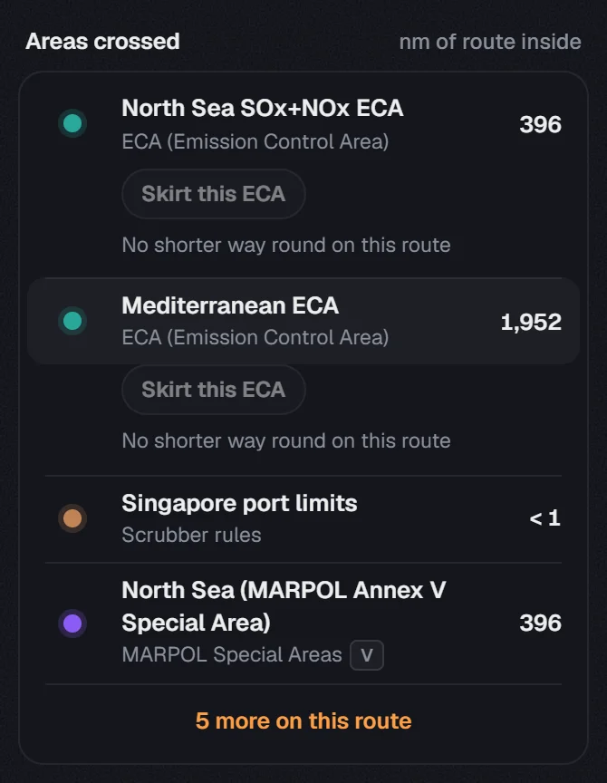
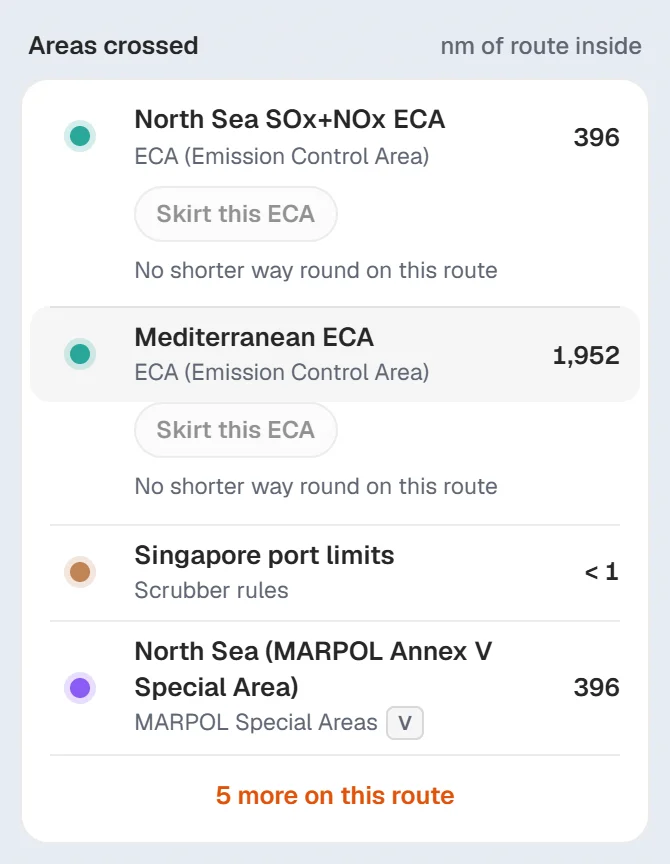
- Each row gives the area, its type and the nm of route inside.
- A MARPOL Special Area carries badges for its annexes (I, II, IV, V). Point at a badge to read what it restricts.
- Press See 9 areas on the card, or the 5 more on this route line under the list, to show every area. The numbers follow your route.
- Click a row and the chart shows that area. Click it again to let it go.
#Skirt an ECA
Under each ECA on your route there is a Skirt this ECA button. It plans the route again to keep out of that ECA where a short way round exists.
Read the line under the button
Before you press it, the line says what it would do, for example 0 nm inside instead of 117 nm · +1 nm.
Press Skirt this ECA
The route is planned again and the button reads Skirting. The card adds a line that the route keeps out where a short way round exists.
Change your mind
Press Skirting again and the route goes back through the ECA.
If the line says No shorter way round on this route, the button is greyed out. That is the case for both ECAs on Rotterdam to Singapore. The button is not offered for a route opened from a file or edited by hand.
#Area types on the chart
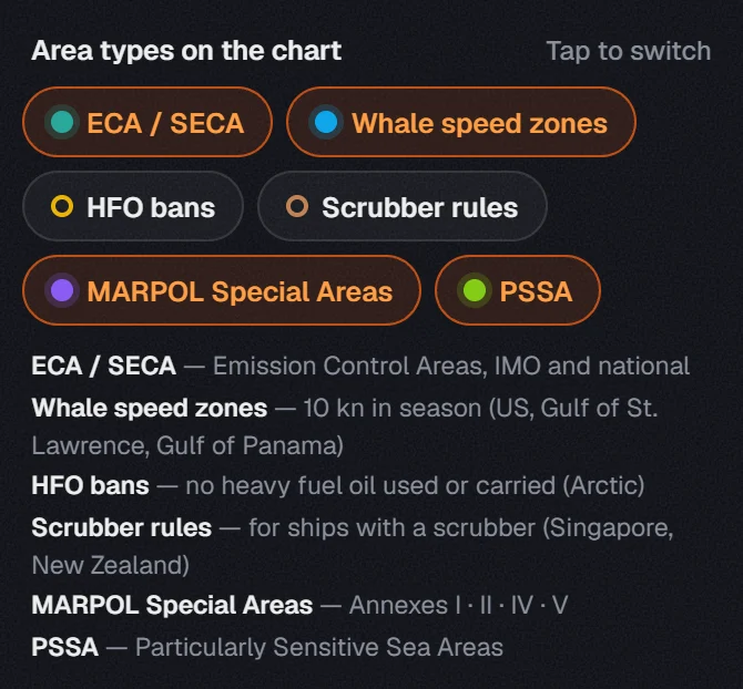
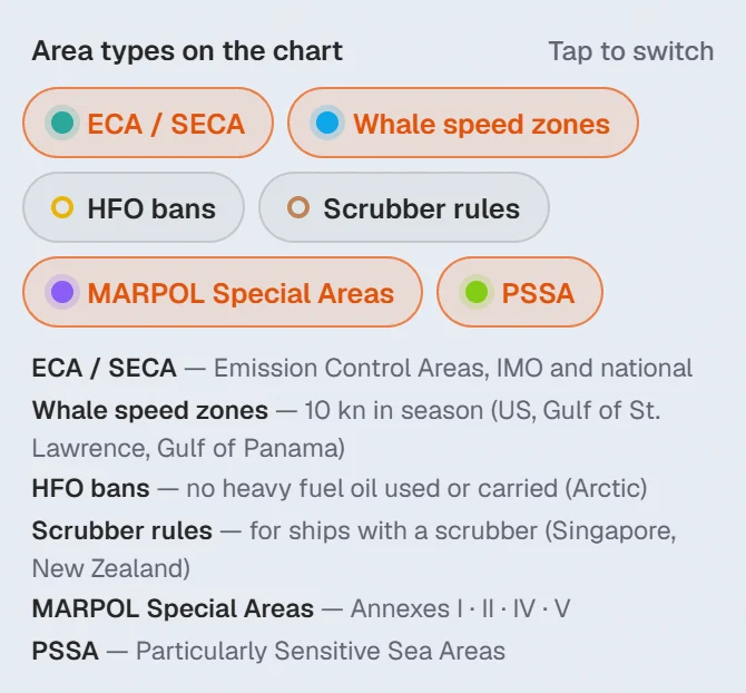
- ECA / SECA: Emission Control Areas, IMO and national.
- Whale speed zones: 10 kn in season.
- Scrubber rules: rules for ships with a scrubber.
- MARPOL Special Areas: the areas of Annexes I, II, IV and V.
- PSSA: Particularly Sensitive Sea Areas.
The On chart switch at the top shows or hides every type at once. The pin beside it keeps them on the chart when you open another tool.
Route, In view and World work as in the Security tool: see Route, In view and World.
#Export as user chart
Press Export as user chart above the list. Choose the area types, pick your ECDIS under For, and press Download user chart. Under Files, One per type makes a separate file for each type of area.
ECAs, Special Areas and PSSAs go out as the lines a ship crosses at sea. To put them in one pack with your route file, see user charts in the Export guide.
About our guides
NaviBoss guides are written and checked by maritime industry experts, masters and deck officers. Each one is built from the same data the planner uses, dated, and rebuilt when that data changes. Spotted something wrong? Tell us on the feedback board.
A planning aid, not for navigation. Check official charts and publications, the latest notices and your company's instructions before you rely on any figure here.
Free Ready when you are
Try Environment on your own voyage
Free account, no card. The same tool this guide shows.
Open EnvironmentFree account · no card