Guide NaviBoss help
How to find a port's pilot station, max draft and reporting rules
Look up any port: where the pilot boards, the key data, each terminal's draught, the reporting rules and the inspections, with tips from other seafarers.
The Ports tool is a port guide for more than 3,000 ports. For each one it shows where the pilot boards, the key data, the terminals with their draughts, the reporting rules and the inspections. Open a port and its card shows over the chart.
#Find a port
Choose which ports to list
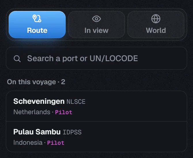
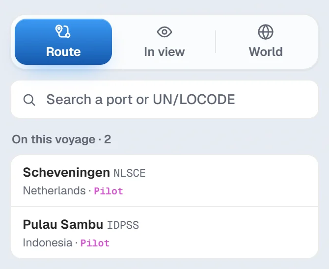
Route lists the ports of your voyage, under On this voyage. In view lists the ports on the part of the chart you are looking at, nearest the centre first. World lets you search them all.
Or search
Type in Search a port or UN/LOCODE: a port name, a country or a code like
NLRTM.Open the port
Click a port in the list. You can also click a port's dot on the chart while Ports is open.
A stop at a pilot station or a terminal shows the port guide nearest to it. If the planner knows a port but there is no guide for it yet, it is listed under In the route planner, no port notes yet. Press it to see the port on the chart.
The On chart switch at the top shows or hides the port dots.
#The port card
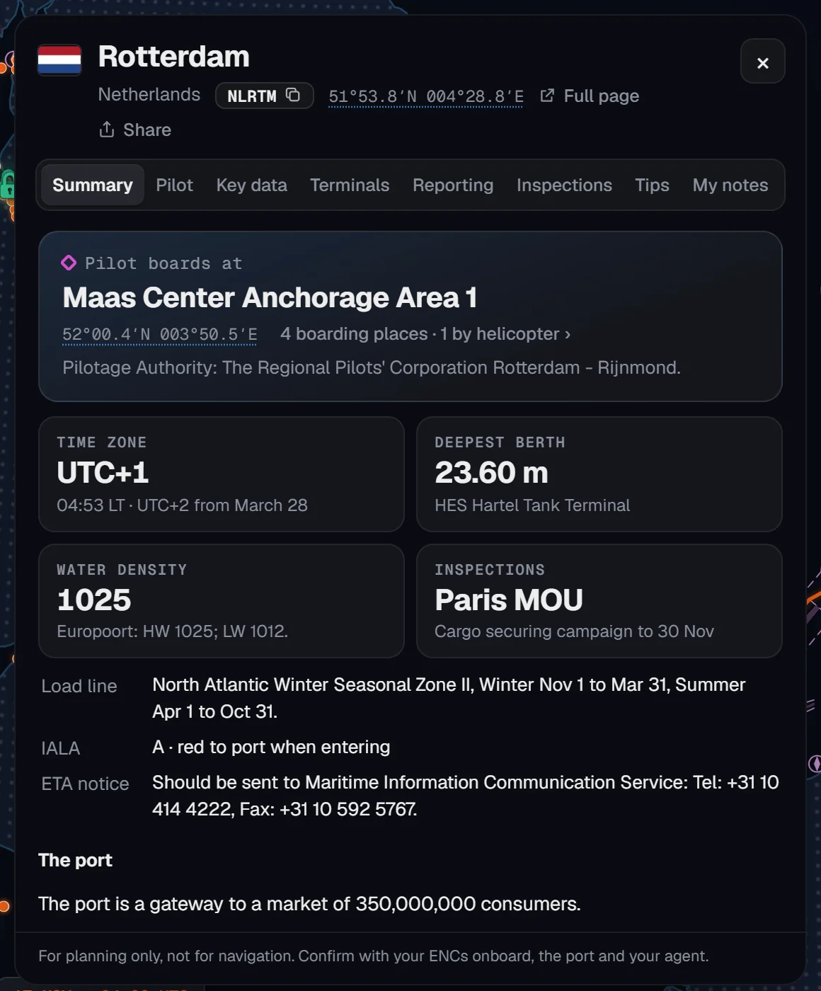
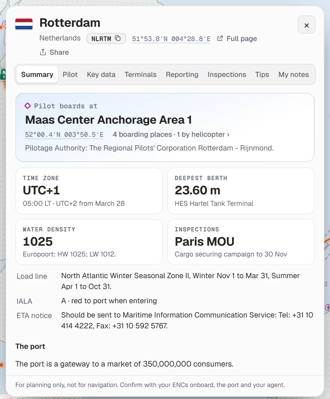
The tabs along the top of the card:
- Summary: where the pilot boards first, the time zone, the deepest berth, the water density and the Port State Control regime. Then the load line, IALA region and ETA notice.
- Pilot: every boarding place, numbered, and the Boarding instructions.
- Key data: local time and the next clock change, water density, load line zone, IALA region, size limits and tides.
- Terminals: each terminal and its draught. See Terminals and max draft.
- Reporting: ETA and pre-arrival notices, traffic schemes and VTS, communications, notice of readiness, documents, health, customs and immigration.
- Inspections: who does Port State Control there, and the country's inspection and ISPS notes.
Every position in the card is a button. Press it and the chart moves there. Press the UN/LOCODE beside the port's name to copy it. Close the card with the ×.
#Terminals and max draft
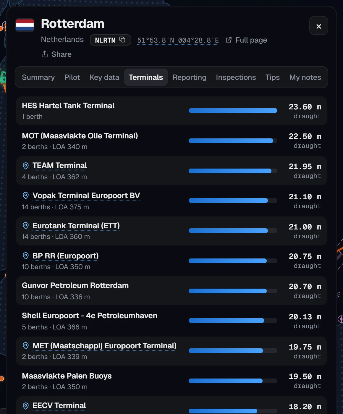
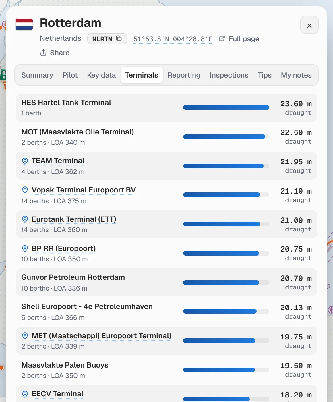
The terminals are listed deepest first. The figure is the largest draught any berth of that terminal states, with the number of berths and the longest LOA.
A terminal with a pin has a known position. Press it to see the terminal on the chart.
#Tips and your own notes
- Tips are written by other seafarers. Each tip is checked before it shows, and the writer is shown by rank and ship type, never by name. Press Sign in to add a tip to write one.
- My notes is your own private note for the port: the agent, the berth, crew change, anything you want next time. It saves by itself. Press Sign in to keep notes first.
Ports with a note of yours are tagged My note in the list.
#Share a port
On the website, the card has Full page, which opens the port's own page, and Share, which gives a link to copy or send to a crewmate.
About our guides
NaviBoss guides are written and checked by maritime industry experts, masters and deck officers. Each one is built from the same data the planner uses, dated, and rebuilt when that data changes. Spotted something wrong? Tell us on the feedback board.
A planning aid, not for navigation. Check official charts and publications, the latest notices and your company's instructions before you rely on any figure here.
Free Ready when you are
Try Ports on your own voyage
Free account, no card. The same tool this guide shows.
Open PortsFree account · no card