

Guide NaviBoss help
How to find the ADMIRALTY publications and Sailing Directions for a passage
See which ADMIRALTY e-NP Sailing Directions volumes and which areas of ADRS, ADLL and TotalTide your route runs through, in the order you meet them.
The ADPs / Sailing Directions tool answers one question before you sail: which ADMIRALTY publications does this passage need? It lists the e-NP Sailing Directions volumes your route runs through, in the order you meet them, with the miles of route inside each. It does the same for the ADMIRALTY digital publications, area by area, and draws their coverage on the chart.
#Publications on your route
Plan a route first
See plan your first route. Under the voyage card, Along this route counts the Sailing Directions volumes. Click that line, or here.
Read the briefing
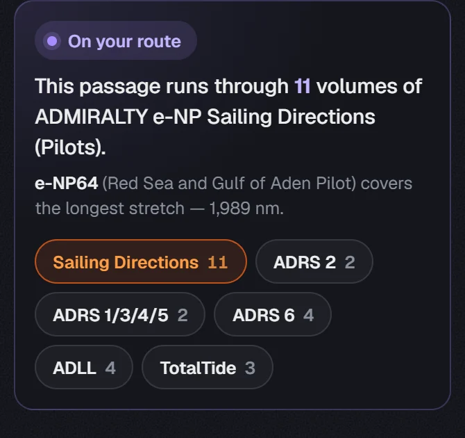
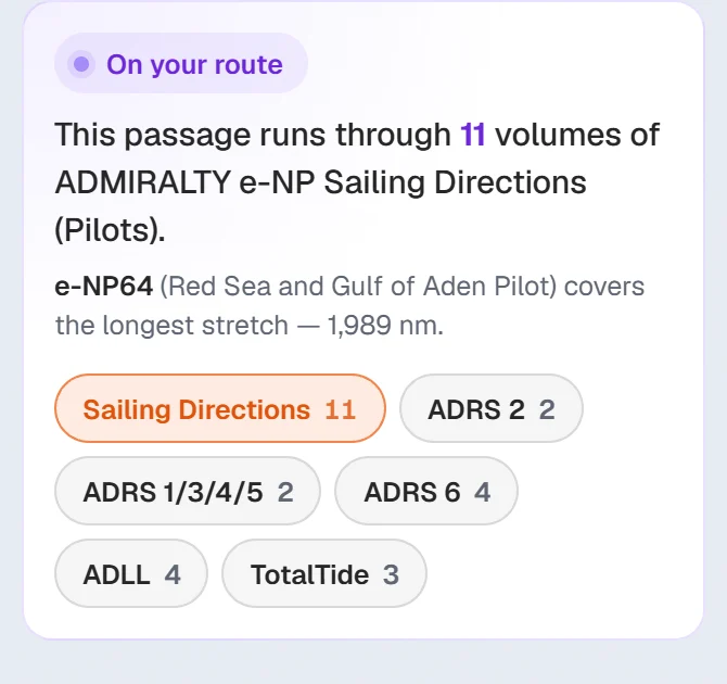
It says how many volumes the passage runs through, and which one covers the longest stretch.
Pick a publication
Each chip carries its own count for this route, so you can see them all without switching. Press one to list its areas and draw its coverage on the chart.
The chips are:
- Sailing Directions: the ADMIRALTY e-NP Sailing Directions (Pilots), one volume per coast or ocean passage.
- ADRS 2: Radio Aids to Navigation & Satellite Systems.
- ADRS 1/3/4/5: Radio Stations, MSI, Met Stations & GMDSS.
- ADRS 6: Pilot Services, VTS & Port Operations.
- ADLL: the ADMIRALTY Digital List of Lights.
- TotalTide: the ADMIRALTY tidal predictions.
Point at a chip to see the publication's full name.
#Read the list
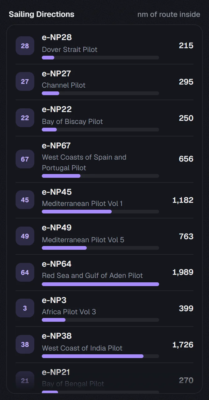
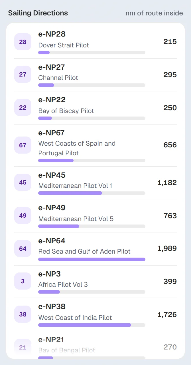
- Each Sailing Directions row shows the volume (
e-NP64), the book's title and the nm of route inside. The bar compares it with the longest one. - For the other publications each row is one area, with the miles of route inside it.
- Click a row and the chart frames that volume or area.
Only one publication is drawn on the chart at a time, so the area borders stay readable. Press the lit chip again to hide it.
#Route, In view and World
The three buttons at the top choose what the card answers for:
- Route: the volumes and areas your planned track runs through.
- In view: those covering the part of the chart you are looking at.
- World: every volume or area of the publication.
On a computer you can also click the chart to drop a pin. The card then says which volume or area covers that spot. Click the pin and press Clear pin, or press Esc, to remove it.
The miles of route inside each area are shown only for Route.
#Offline
The coverage comes with the app, so the tool works the same in NaviBoss Desktop with no connection.
About our guides
NaviBoss guides are written and checked by maritime industry experts, masters and deck officers. Each one is built from the same data the planner uses, dated, and rebuilt when that data changes. Spotted something wrong? Tell us on the feedback board.
A planning aid, not for navigation. Check official charts and publications, the latest notices and your company's instructions before you rely on any figure here.
Free Ready when you are
Try ADPs and Sailing Directions on your own voyage
Free account, no card. The same tool this guide shows.
Open ADPs and Sailing DirectionsFree account · no card