

Guide NaviBoss help
How to check a passage for piracy, war-risk and High Risk Areas
See which piracy, war-risk and High Risk Areas your route crosses, for how many miles, and the latest incidents.
The Security tool matches your route to the High Risk Area, piracy hotspots, war-risk areas and the transit corridors, and gives the miles inside each.
#Steps
Plan your route
Pick the ports and press Plan route.
Open Security
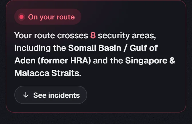
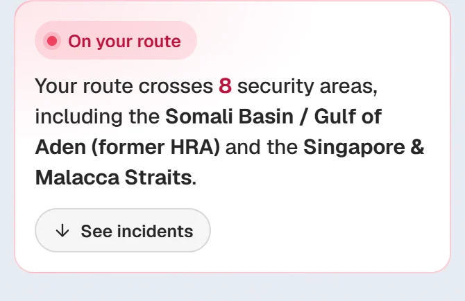
Press Security in the rail. The briefing says how many areas the route crosses.
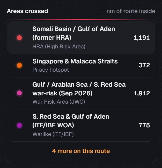
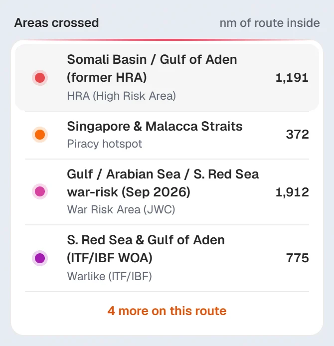
Read the areas crossed
Each area has its type and the nm of route inside. Click one to see it on the chart.
Read the latest incidents
Press See incidents for the latest reported attacks and approaches.
About our guides
NaviBoss guides are written and checked by maritime industry experts, masters and deck officers. Each one is built from the same data the planner uses, dated, and rebuilt when that data changes. Spotted something wrong? Tell us on the feedback board.
A planning aid, not for navigation. Check official charts and publications, the latest notices and your company's instructions before you rely on any figure here.
Free Ready when you are
Do it on your own voyage
Free account, no card. The tour walks you through it in the planner.
Start the tourFree account · no card